Route
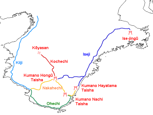
UNESCO network of mountain trails to the three Kumano grand shrines — Japan’s great syncretic pilgrimage of forest and waterfall.
For centuries emperors and commoners walked these paths to Hongū, Hayatama, and Nachi. Buddhist and Shinto meanings overlay the same landscape (honji suijaku). The Kohechi trail also links Kumano with Mount Kōya; Seiganto-ji beside Nachi is Temple 1 of the Saigoku Kannon route.
5 mapped anchors on the circuit.
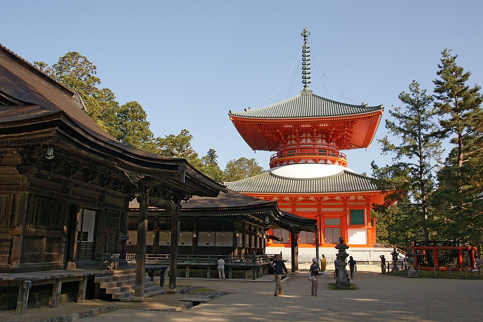 1Mount Kōya (Kōyasan)JapanShingon mountain monastery founded by Kūkai — temple town, cemeteries, and forest paths.
Mount Kōya (Kōyasan) → Kumano Hongū Taisha· ~45 km / 28 mi
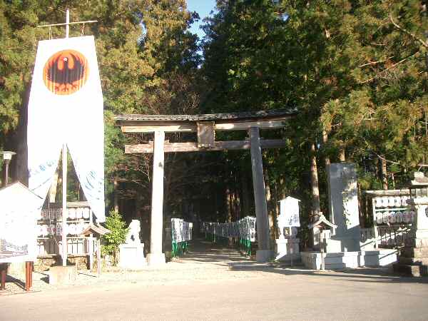 2Kumano Hongū TaishaJapanCentral grand shrine of Kumano — the spiritual hub where Kumano Kodō routes converge.
Kumano Hongū Taisha → Kumano Hayatama Taisha· ~23 km / 15 mi
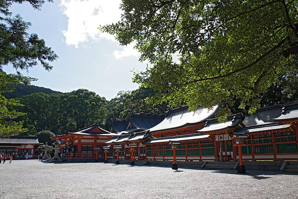 3Kumano Hayatama TaishaJapanCoastal grand shrine at Shingū — one of the three Kumano Sanzan destinations.
Kumano Hayatama Taisha → Kumano Nachi Taisha· ~12 km / 7 mi
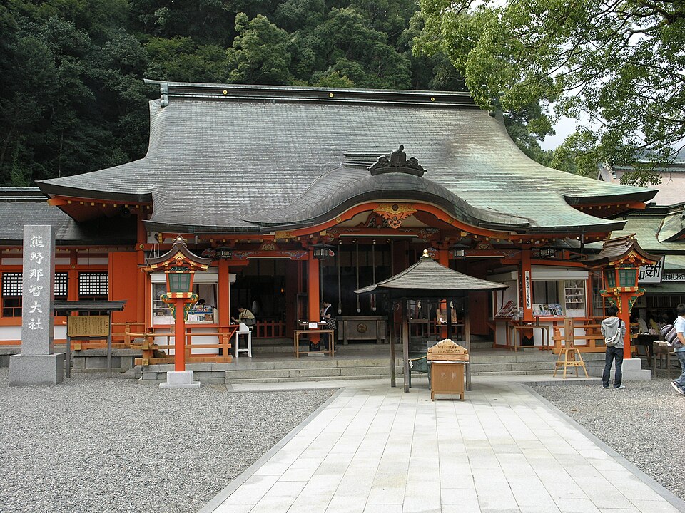 4Kumano Nachi TaishaJapanMountain shrine above Japan’s tallest waterfall, paired with Seiganto-ji in a single sacred precinct.
Kumano Nachi Taisha → Seiganto-ji· ~116 m / 0.1 mi
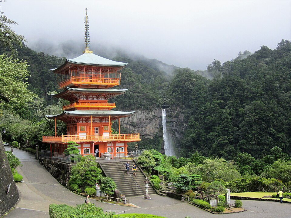 1Temple 1 — Seiganto-jiJapanTemple 1 of the Saigoku Kannon pilgrimage — pagoda overlooking Nachi Falls in the Kumano mountains.